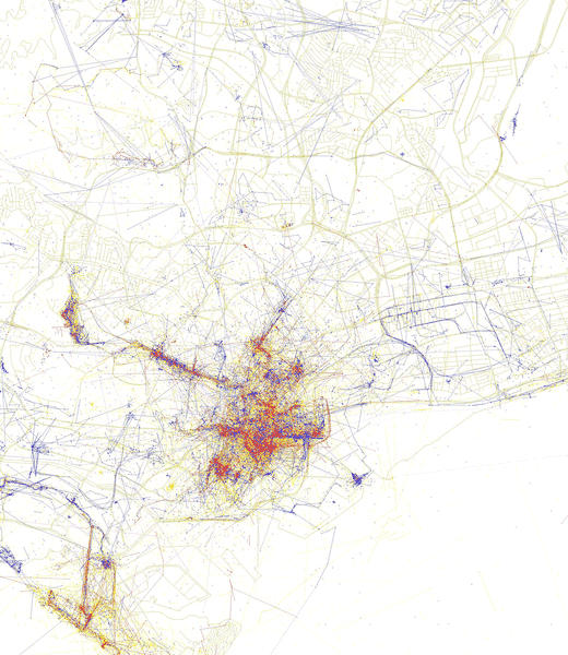
The Geotaggers’ World Atlas maps are machine-generated maps of pictures taken by people in specific cities. Blue points indicate coordinates of photos taken by locals and red points are pictures snapped by tourists. Some very interesting map visualizations which show where the locals and tourists hang out more.
